Home › Journal › For a century, mapmakers were sure California was an island
Phantom geographyFor a century, mapmakers were sure California was an island
How a confident error spread across Europe's finest maps — and why our 1691 Sanson–Jaillot world map shows the sea that never existed.
One of the most famous and persistent errors in the history of cartography is staring out of this 1691 world map: California, drawn as a great island, cut off from the American mainland by a body of water its makers labelled the Mer de Californie.
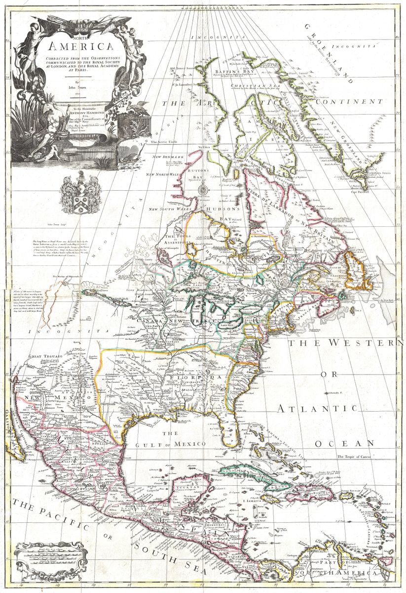
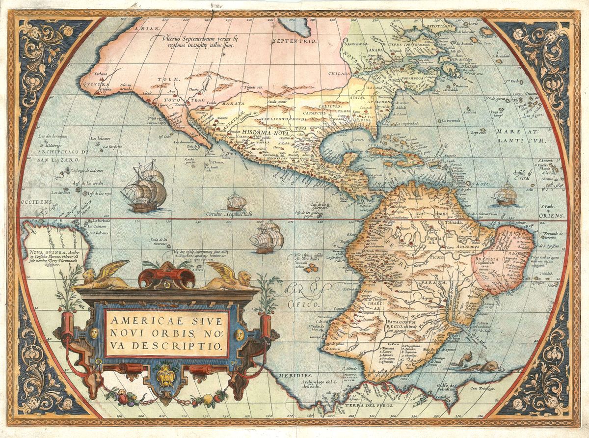
The strange part is that geography went backwards. Abraham Ortelius had correctly mapped California as a peninsula in 1572. But in the 1620s the island form took hold, and for most of the seventeenth century Europe's best workshops copied one another rather than the coastline — floating California out to sea for decade after decade. Beyond it this map even adds Terre de Iesso, another speculative land of the period.
The plate is the first state of the fourth and final version of this title, engraved on a grand scale by Alexis-Hubert Jaillot for his Atlas Nouveau of 1692, from drafts reworked by the heirs of Nicolas Sanson, and dedicated to the Dauphin of France. It is catalogued as Shirley no. 550 in the standard bibliography of early world maps.
Sources: Shirley, The Mapping of the World, no. 550 · Barry Lawrence Ruderman — raremaps.com ↗