restored antiquity

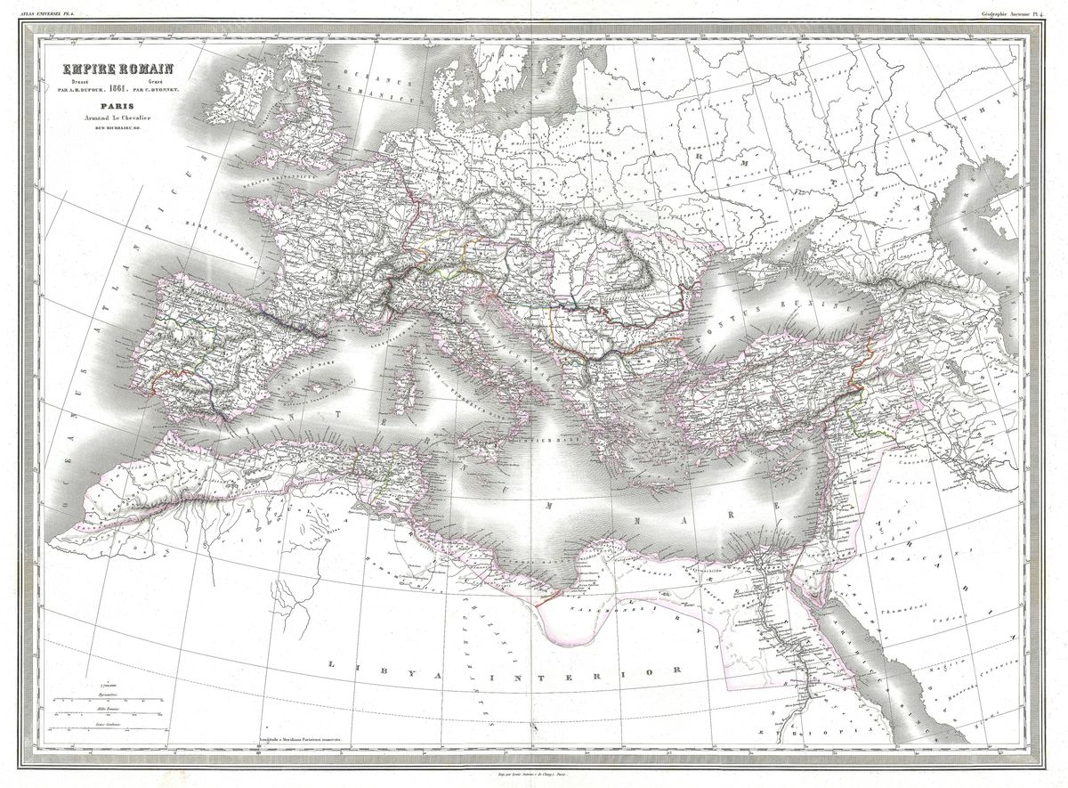
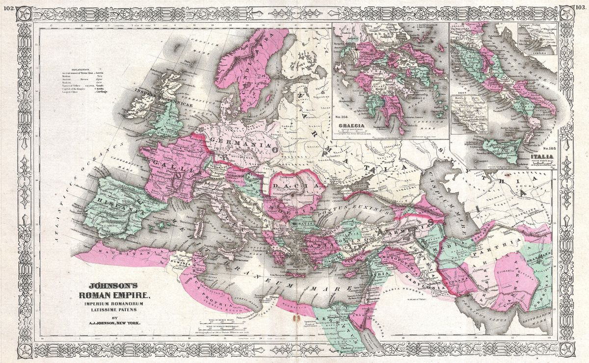
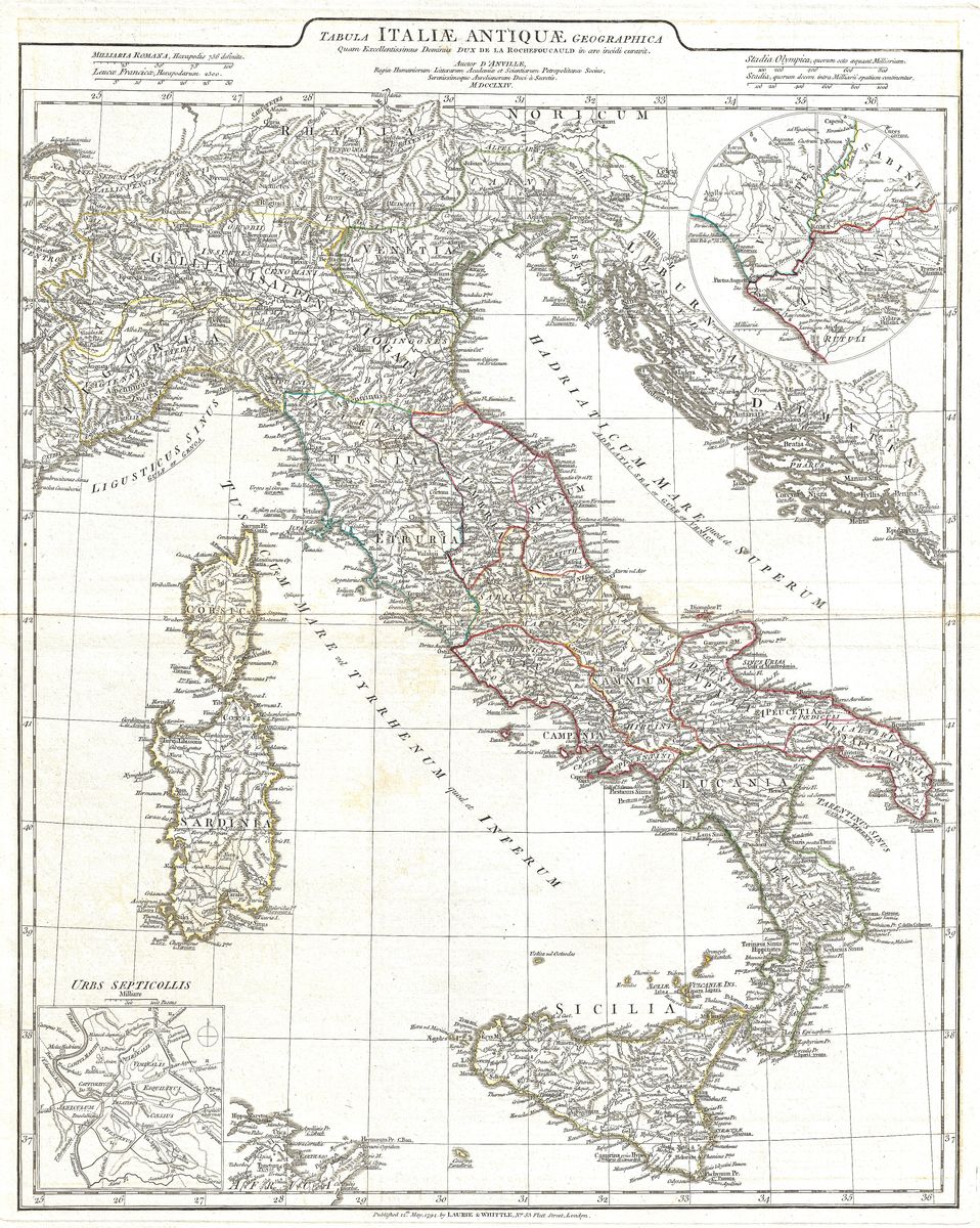
Home › Antique Roman Empire Maps

Antique Roman Empire Maps

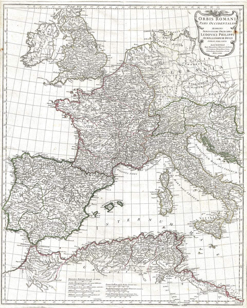
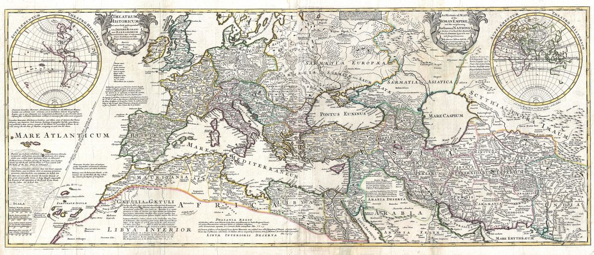
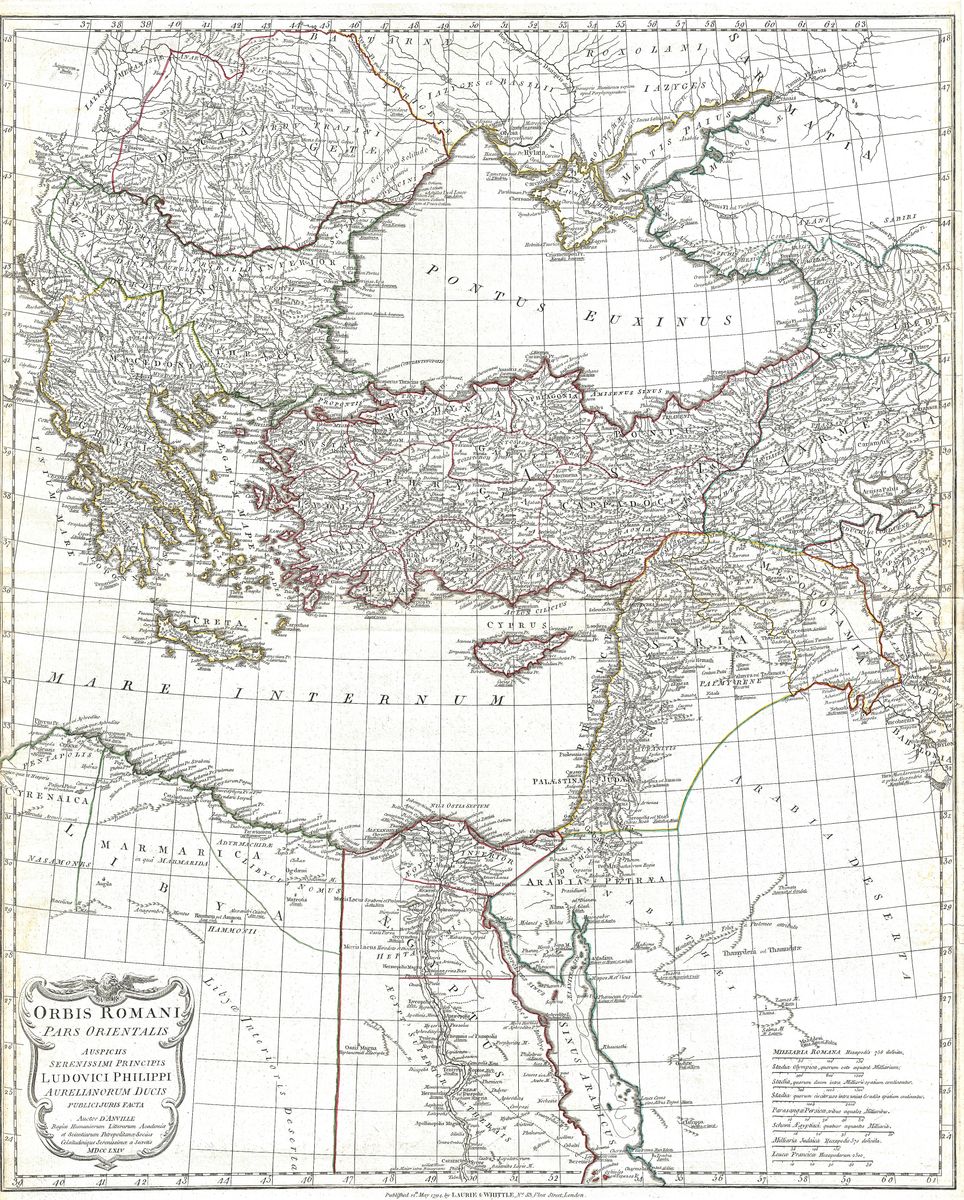
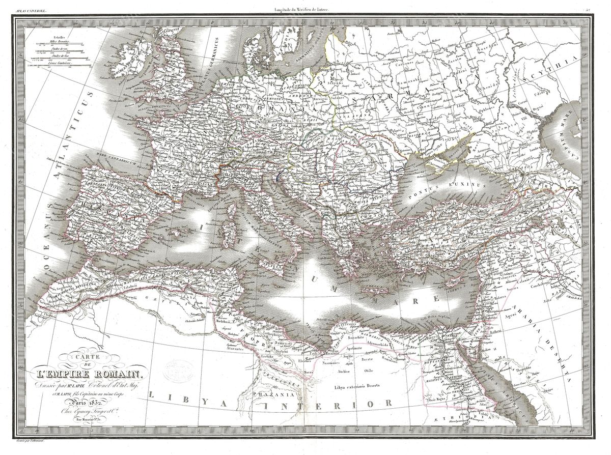
Restored antique maps of the Roman Empire — from d'Anville's 18th-century engravings to 19th-century historical atlases. Museum-quality giclée prints of the classical Roman world, delivered framed to your door.

Antique map of Western Roman Empire by Jean-Baptiste Bourguignon d'Anville, 1763

Western Roman Empire

Jean-Baptiste Bourguignon d'Anville, 1763

Antique map of The Roman Empire by Herman Moll, 1709

The Roman Empire

Herman Moll, 1709

Antique map of Eastern Roman Empire by Jean-Baptiste Bourguignon d'Anville, 1794

Eastern Roman Empire

Jean-Baptiste Bourguignon d'Anville, 1794

Antique map of The Roman Empire (Lapie) by Pierre Lapie, 1829

The Roman Empire (Lapie)

Pierre Lapie, 1829

Antique map of The Roman Empire (Dufour) by Auguste-Henri Dufour, 1860

The Roman Empire (Dufour)

Auguste-Henri Dufour, 1860

Antique map of The Roman Empire (Johnson) by Alvin Jewett Johnson, 1864

The Roman Empire (Johnson)

Alvin Jewett Johnson, 1864

Antique map of Ancient Italy by Jean-Baptiste Bourguignon d'Anville, 1764

Ancient Italy

Jean-Baptiste Bourguignon d'Anville, 1764