Home › Antique World & Regional Maps › The World
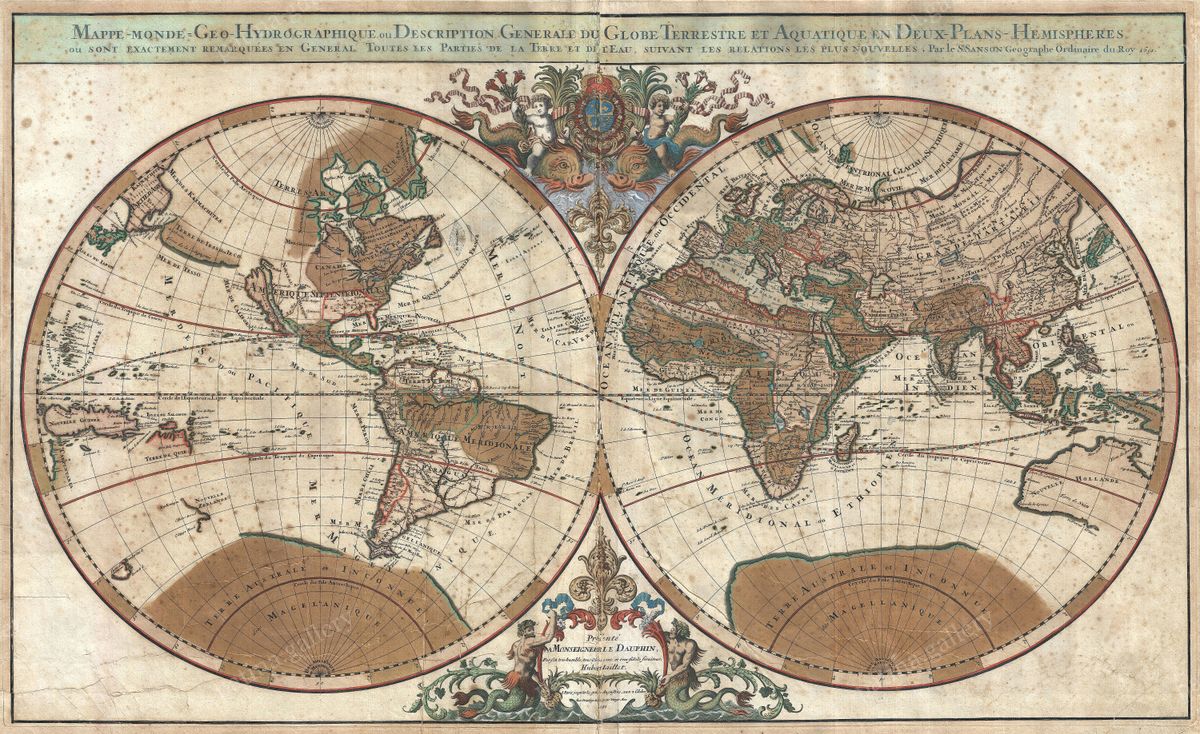
The World — Antique Map (1691)
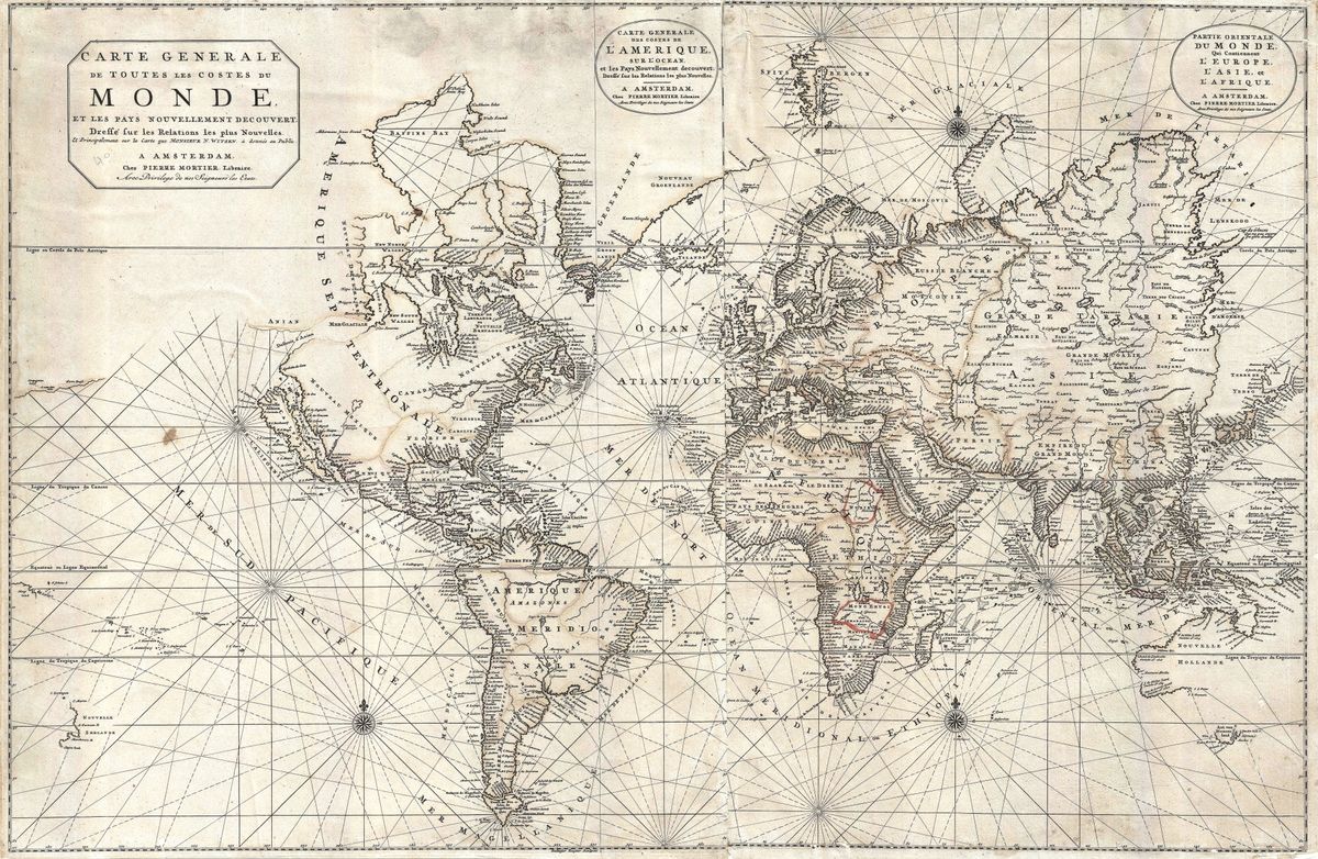
Nicolas Sanson, 1691 — World
This world map, drawn from the work of Nicolas Sanson and published in 1691, presents the globe in the clear, measured French manner that came to define the close of the seventeenth century. Where the Dutch favoured dense ornament, the Sanson tradition prized legibility and proportion: coastlines are firmly drawn, the graticule of latitude and longitude is given prominence, and decoration is kept in service of the geography rather than competing with it. The map reflects the knowledge of its day, with the Atlantic and the coasts of the Indies well established, while parts of the Pacific, the American north-west and the southern oceans remain provisional.
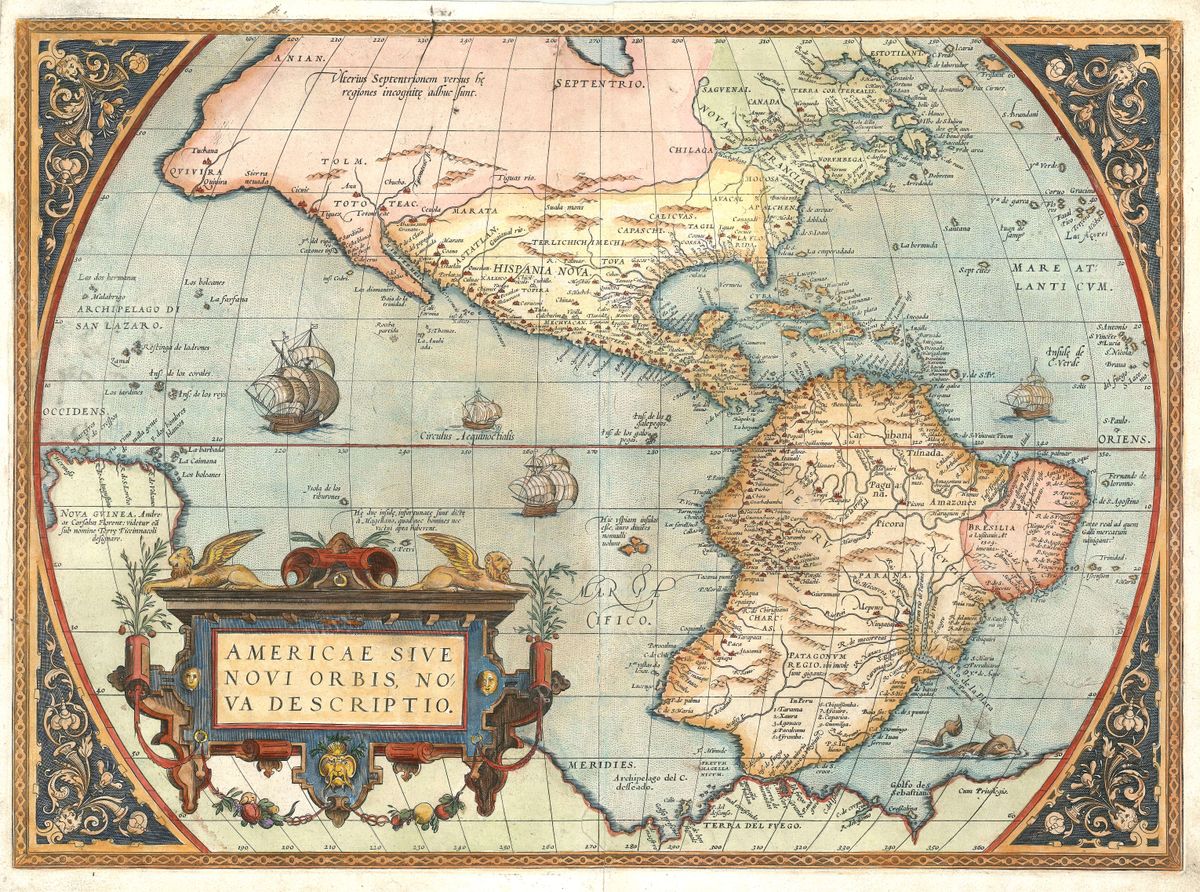
Sanson and the rise of French cartography
Nicolas Sanson (1600-1667) is remembered as the father of French cartography. Appointed geographer to the king, he shifted the centre of European mapmaking towards Paris and towards a more critical, scholarly method, weighing his sources and favouring accuracy over embellishment. His maps and those of his sons and successors set a standard that the next century would build upon, and they prepared the ground for the great reforming geographers, among them Guillaume De L'Isle and later d'Anville, who carried the French school to its height. A map issued under the Sanson name in 1691, after his death, belongs to this enduring tradition of restrained authority.
The world at the close of the seventeenth century
By the 1690s European powers had circled the globe, established trading empires and accumulated a substantial body of geographical observation, yet fundamental problems remained. Longitude could not be reliably fixed at sea, so the widths of the oceans were still disputed, and large stretches of coastline were known only from single, sometimes contradictory voyages. The French school responded to this uncertainty with caution, distinguishing the well-attested from the doubtful. The result is a map that conveys both the reach and the limits of the age of discovery.
Collecting and display
Restored in high resolution from a public-domain original, this print preserves the crispness of the engraving and the warm patina of the paper while removing the wear of centuries. It is produced as an archival giclée print and supplied framed, ready to hang. Handsome and historically resonant, it makes a quietly authoritative centrepiece for a study, library or living space.