Home › Antique Holy Land Maps
Antique Holy Land Maps
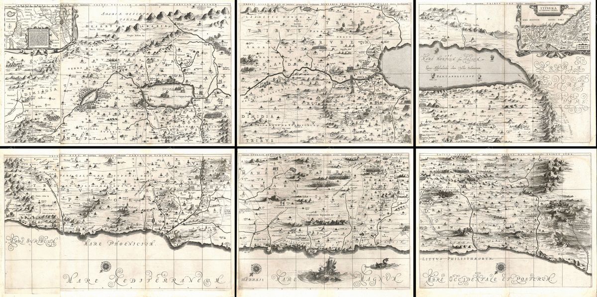
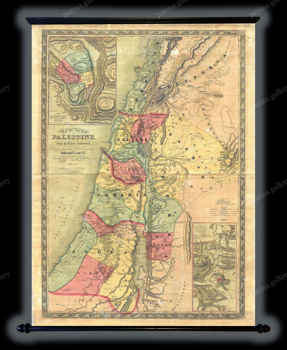
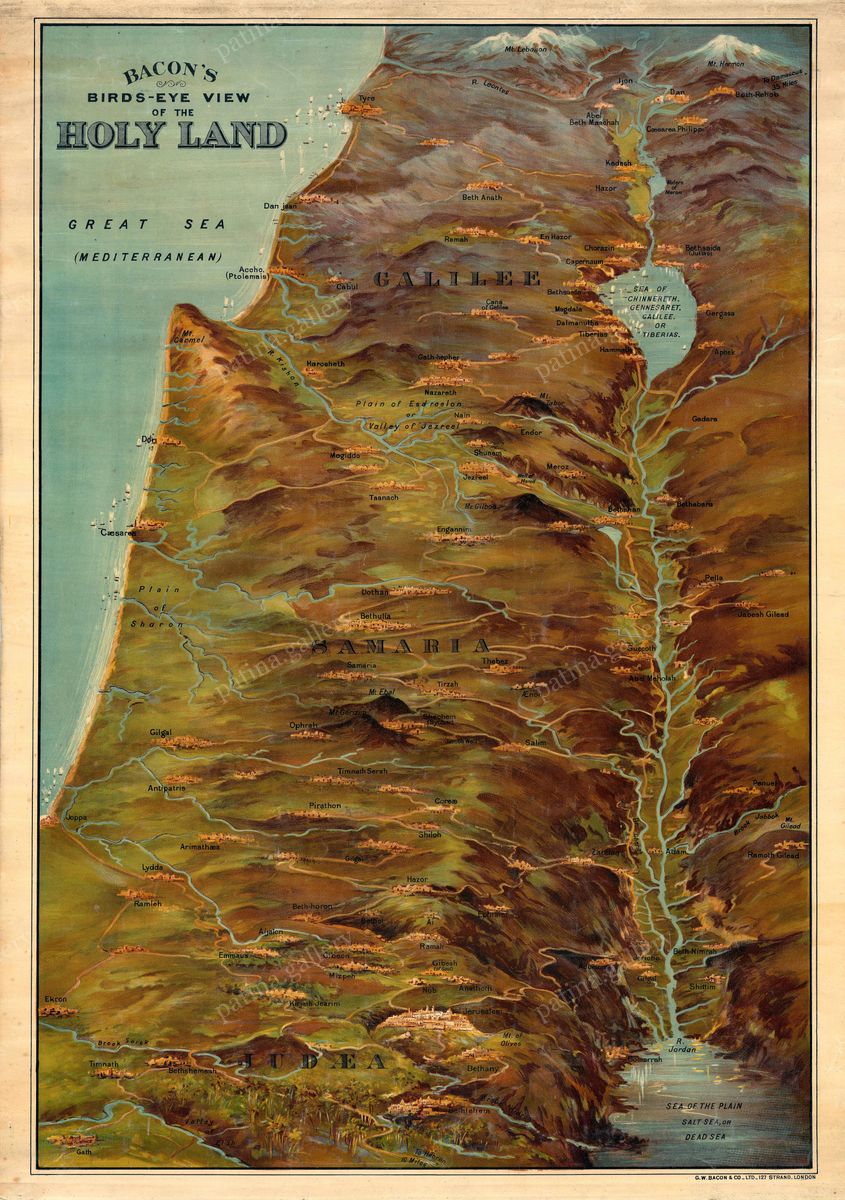
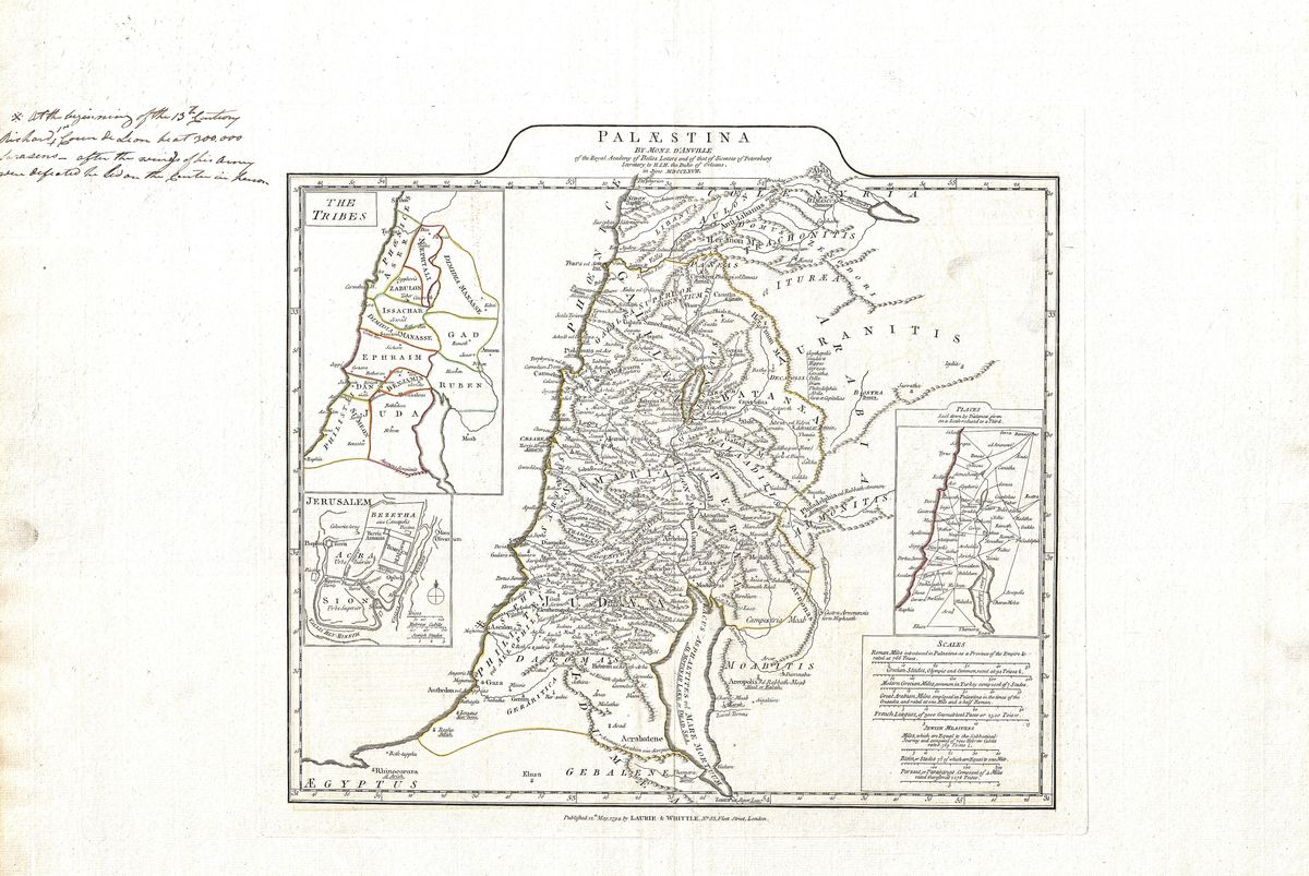
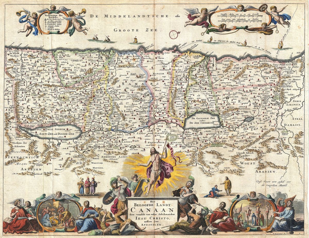
Restored antique maps of the Holy Land, Palestine and Canaan — from 17th-century Dutch masters to Victorian engravings, in high-resolution fine-art prints.
Home › Antique Holy Land Maps
Restored antique maps of the Holy Land, Palestine and Canaan — from 17th-century Dutch masters to Victorian engravings, in high-resolution fine-art prints.