Home › Antique World & Regional Maps › The World
The World — Antique Map (1691)
Nicolas Sanson, 1691 — World
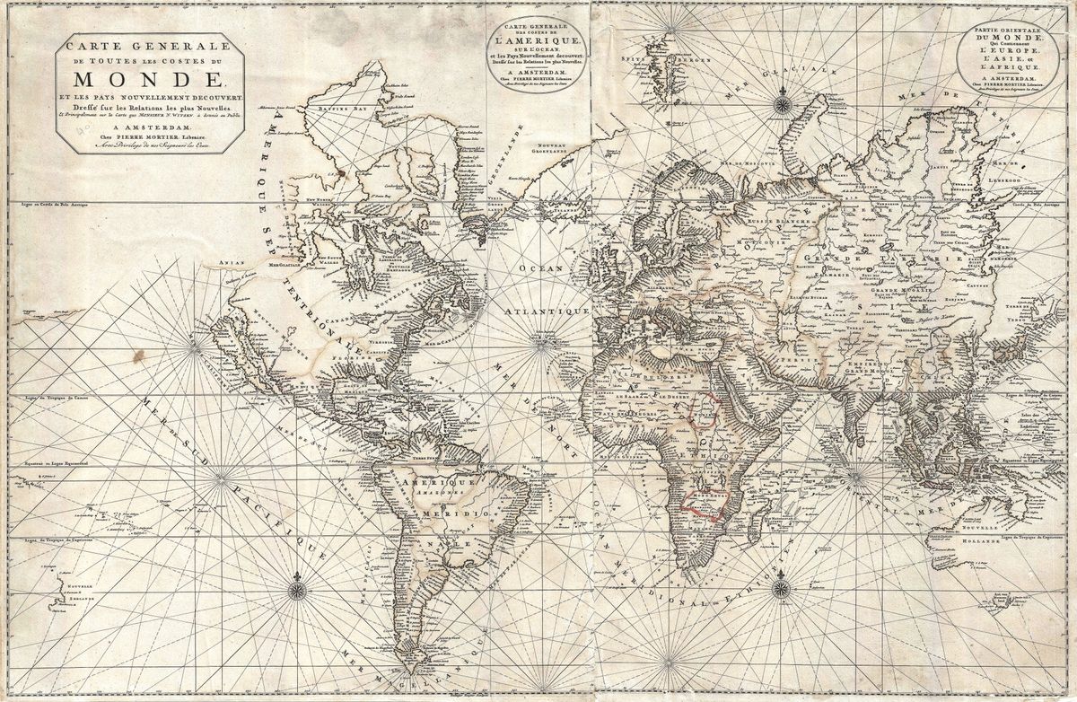
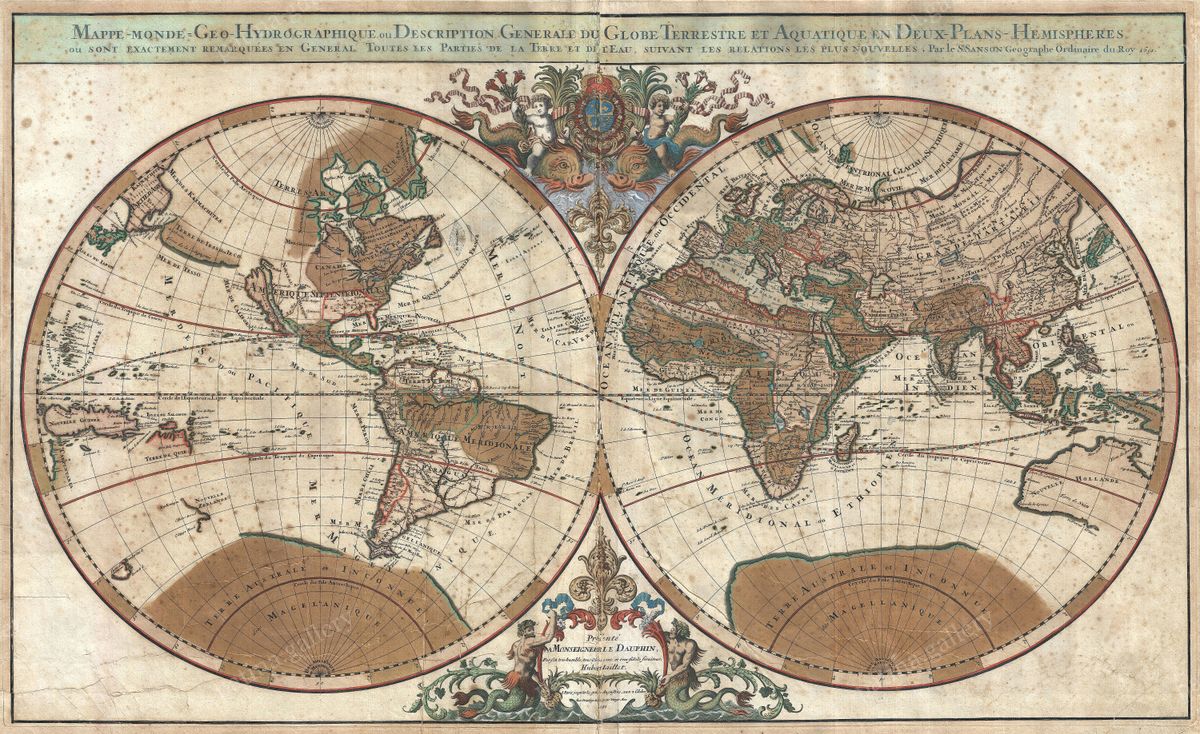
This monumental double-hemisphere world map carries the legacy of Nicolas Sanson (1600–1667), universally regarded as the father of French cartography, and was published in Paris in 1691. It marks the elegant transition from the dense ornament of the Dutch golden age toward the clean, scientific line of the French school.
California as an island
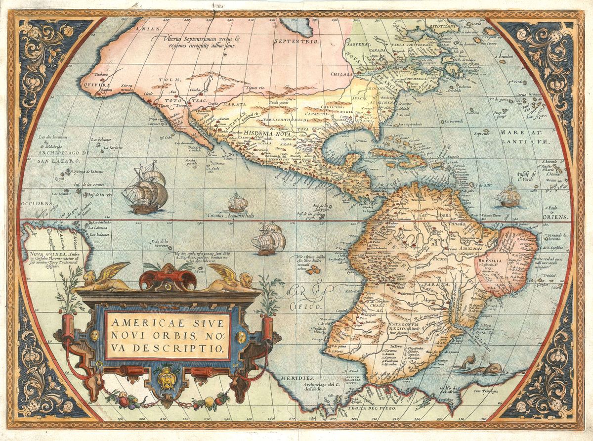
The map shows one of the most famous errors in the history of cartography: California drawn as a great island, cut off from the mainland by the 'Mer de Californie'. Curiously, Abraham Ortelius had correctly mapped California as a peninsula back in 1572 — but European geography then regressed, and for much of the seventeenth century mapmakers confidently floated it out to sea.
A world in two circles
The globe is presented as two great hemispheres, the New World facing the Old, framed with restrained baroque ornament — a confident summary of what Europe knew, and still wrongly believed, at the close of the 1600s.
Jaillot's plate, dedicated to the Dauphin
The map is the first state of the fourth and final version of this title, engraved on a grand scale by Alexis-Hubert Jaillot for his Atlas Nouveau of 1692 from drafts reworked by Sanson's heirs; its cartouche is dedicated to the Dauphin of France (Shirley, The Mapping of the World, no. 550). Beyond the floating island of California lies 'Terre de Iesso', another speculative land of the period.
Collecting and display
Restored in high resolution from a public-domain original; an archival giclée print, framed and ready to hang — a spectacular centrepiece and a standing lesson in how knowledge can move backwards.
Browse all Antique World & Regional Maps →
Catalogue & provenance
- Title
- Mappe-Monde Geo-Hydrographique, ou Description Generale du Globe Terrestre et Aquatique en Deux-Plans-Hemispheres
- Source
- Atlas Nouveau (Hubert Jaillot, Paris)
- Edition / state
- First state of the fourth and final plate of this title, engraved for Alexis-Hubert Jaillot's Atlas Nouveau of 1692 from the reworked drafts of Nicolas Sanson's heirs; the cartouche is dedicated to the Dauphin of France. California is drawn as an island ('Mer de Californie'), with the mythical land of 'Terre de Iesso' beyond.
- Catalogue reference
- Shirley, Mapping of the World, no. 550
- Held by
- National Library of New Zealand; sold at Christie's and Old World Auctions.
Public-domain original; this is a restored, watermarked reproduction. We never distribute the high-resolution master. Catalogue data compiled from the institutions above.
Featured in the Journal
For a century, mapmakers were sure California was an island →
How a confident error spread across Europe's finest maps — and why our 1691 Sanson–Jaillot world map shows the sea that never existed.