Home › Antique Holy Land Maps › Palestine and Israel
Palestine and Israel — Antique Map (1854)
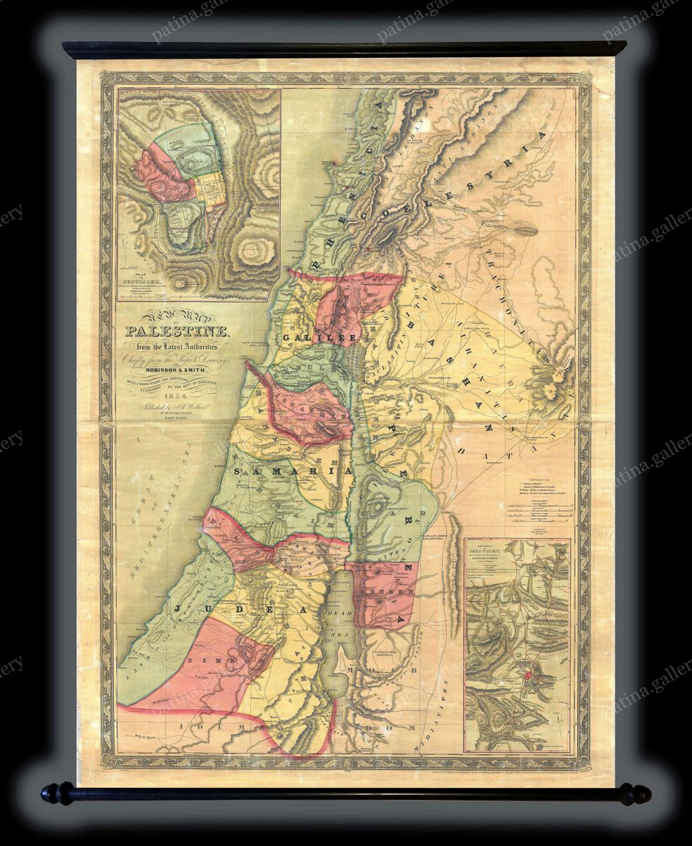
Joseph Hutchins Colton, 1854 — Holy Land
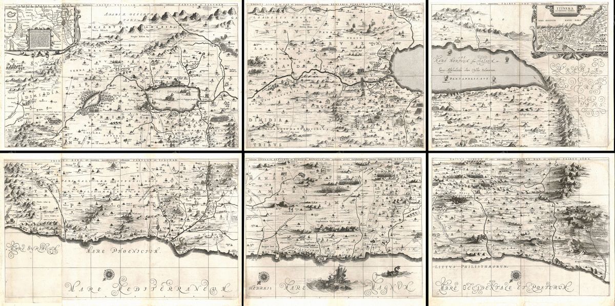
This 1854 map of Palestine and Israel charts the Holy Land in the clean, bright manner of the great American map houses of the mid-nineteenth century. It covers the country from the Mediterranean coast to the lands east of the Jordan, marking towns, districts and physical features, with the hand-tinted boundaries that distinguished commercial maps of the period. The engraving is legible and orderly, designed for a Victorian readership that approached the region first through Scripture and then through the growing literature of travel and biblical study. Sacred sites and historic places are named throughout, set within an ornamental border in the style that Colton's firm made widely familiar.
The cartographer
Joseph Hutchins Colton (1800-1893) built one of the foremost map-publishing houses in nineteenth-century America. From his base in New York he issued atlases, wall maps and travel guides that reached a broad public, prized for their clarity, their decorative borders and their characteristic hand-colouring. The firm's maps of the Holy Land met a strong and steady appetite among readers who wished to picture the lands of the Bible, whether for devotional study, classroom teaching or armchair travel. Colton's work belongs to the confident expansion of American commercial cartography, in which sound geography and attractive presentation were combined for a wide and aspiring audience.
The Holy Land in the Victorian eye
The mid-nineteenth century saw an intense fascination with Palestine across Europe and America. It was the age of the great surveys and expeditions that sought to map and measure the land of the Bible, and of a flourishing trade in travelogues, engravings and maps that brought the region into countless homes. A map such as this one served that interest directly, allowing readers to locate Jerusalem, the Sea of Galilee, the Jordan and the towns of the Gospels, and to relate the ancient tribal and biblical geography to the contemporary Ottoman territory. It captures a moment when the Holy Land was being studied with new rigour while remaining, for most, a place of imagination and faith.
For the collector and the home
Restored in high resolution from a public-domain original, the map is offered as an archival giclée print, framed and ready to hang. Its clarity and gentle colour make it an accessible and handsome piece, well suited to a study, hallway or family home, and a natural choice for those drawn to the Holy Land through history or faith.