Home › Antique Holy Land Maps › The Holy Land
The Holy Land — Antique Map (1890)
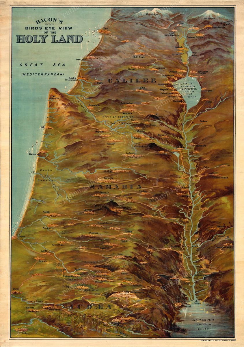
George Washington Bacon, 1890 — Holy Land
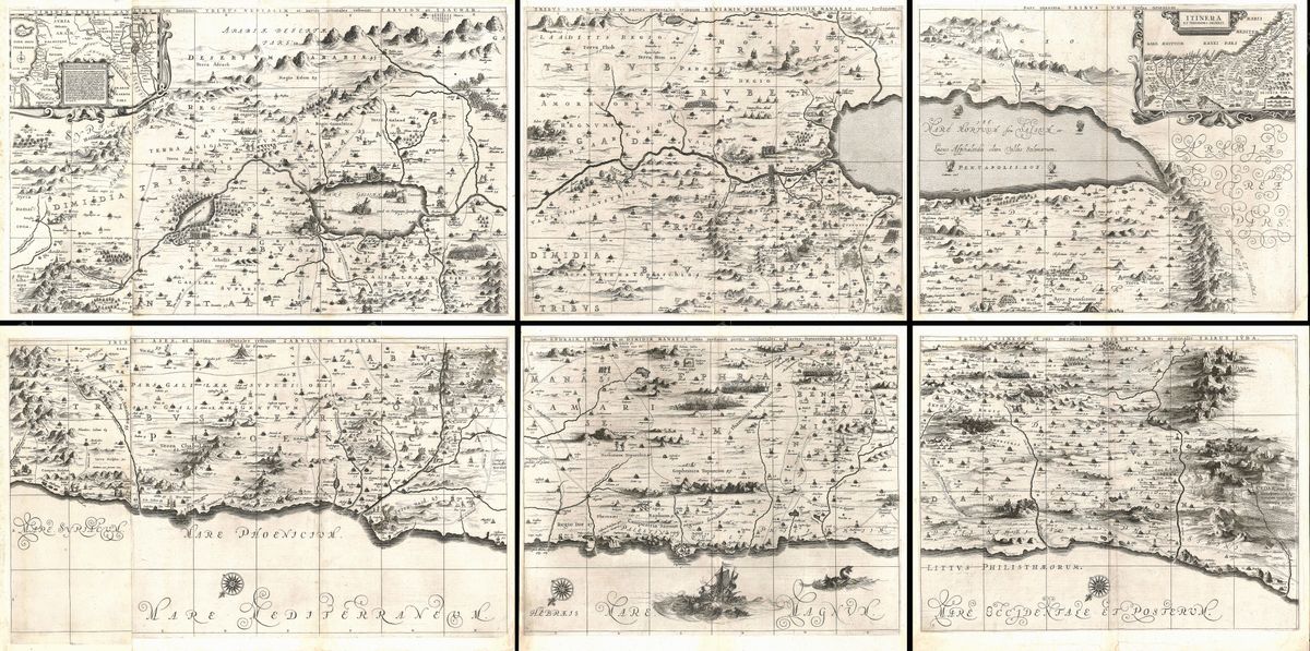
This 1890 map of the Holy Land by the London publisher George Washington Bacon renders Palestine in the dense, businesslike detail that defined late-Victorian commercial cartography. It traces the Mediterranean coast from the plain of Sharon down past Jaffa and Gaza, follows the Jordan from the Sea of Galilee to the Dead Sea, and marks the towns, hills and routes of a land that nineteenth-century readers knew chiefly through Scripture. Modern and biblical place-names sit side by side, reflecting an age that read the contemporary landscape as a living commentary on the events of the Old and New Testaments.
George Washington Bacon and Victorian mapmaking
Bacon (1830-1922) built a prolific map-publishing business in London, supplying atlases, pocket guides and wall maps to a broad and increasingly literate public. His work belonged to a tradition that valued legibility and completeness over decorative flourish: clean lettering, careful relief, and an abundance of named places. Maps of Palestine sold steadily in this period, bought by clergy, Sunday-school teachers, travellers and armchair pilgrims alike. Bacon's edition is a characteristic product of that market, a reference tool first, but one carrying the quiet authority of the Ordnance-influenced British mapmaking of its day.
The Holy Land in 1890
The Palestine shown here was a province of the Ottoman Empire, yet it was also the object of intense European attention. The Palestine Exploration Fund had spent decades surveying the country, and a steady traffic of scholars, archaeologists and tourists followed the new steamships and railways east. The map reflects this convergence of faith and science: ancient sites are fixed with a precision that earlier, more pictorial maps had never attempted, while the framework of tribal territories and Gospel geography remains firmly in view. It is a document of the Victorian fascination with the lands of the Bible, mapped at the very moment that modern survey was overtaking inherited tradition.
Collecting and display
Restored in high resolution from a public-domain original, this print preserves Bacon's fine lettering and the warm tone of the aged paper while clearing away the blemishes of age. The density of detail rewards close viewing, making it well suited to a study, library or hallway where it can be examined at leisure. It is offered as an archival giclée print, framed and ready to hang, a considered piece for collectors of biblical cartography and for anyone drawn to the meeting of history, faith and geography that this map records.