Home › Antique Maps of the Ancient World › Ancient Gaul
Ancient Gaul — Antique Map (1860)
Auguste-Henri Dufour, 1860 — Ancient Gaul
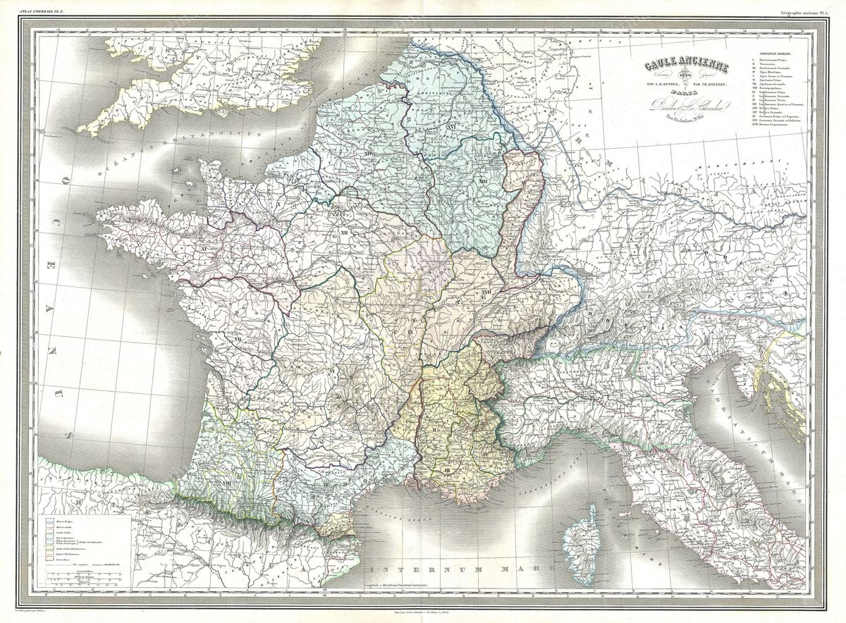
This 1860 map, Gaule Ancienne, depicts Gaul as it stood in antiquity, the broad territory reaching from the Pyrenees and the Mediterranean shore to the Rhine and the Channel, taking in what are now France, Belgium and neighbouring lands. The engraving sets out the homelands of the Celtic peoples whom the Romans grouped into the great divisions of Gaul, naming the tribes, their principal towns, the rivers that ordered the country and the provincial boundaries imposed once Rome had made the region its own. It is a dense and studious sheet, designed to let the reader trace both the native landscape and the administrative geography that succeeded it.
The cartographer
Auguste-Henri Dufour (1798-1865) was a leading French cartographer of the nineteenth century, active in an age when historical atlases were produced with great care for the educated and the schoolroom alike. His maps are marked by fine, controlled engraving and a wealth of detail, qualities well suited to a subject as intricate as ancient Gaul. Working long after d'Anville had established the scholarly study of classical geography, Dufour belonged to a French tradition that prized both precision and legibility, and his rendering of Gaul reflects the mature historical scholarship of the mid-1800s.
The land and its history
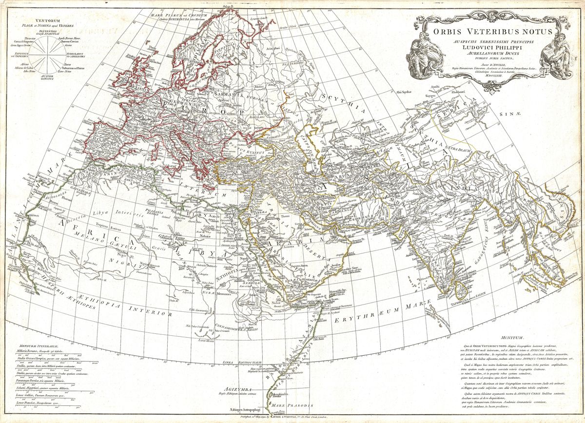
The Gaul shown here is, above all, the country described in Julius Caesar's commentaries on the Gallic Wars. It was Caesar who famously observed that Gaul was divided into parts, and it was his campaigns of the 50s BC that brought the tribes, among them the Aedui, the Arverni and the Belgae, under Roman power, a conquest sealed by the defeat of Vercingetorix at Alesia. Beneath the Roman overlay the map preserves the older Celtic world of hillforts, river trade and tribal confederations, while the provincial framework recalls the centuries of Gallo-Roman civilisation that followed, when towns, roads and amphitheatres knit the region into the empire.
For the collector and the home
Restored in high resolution from a public-domain original, the map is offered as an archival giclée print, framed and ready to hang. Its warm patina and closely worked detail reward unhurried attention, making it a rich and absorbing piece for a study, library or hall. It will appeal to readers of Caesar, to those drawn to Celtic and Gallo-Roman antiquity, and to anyone with a connection to France and its deep past.