Home › Antique Maps of the Ancient World › Asia Minor (Byzantine)
Asia Minor (Byzantine) — Antique Map (1854)
Karl von Spruner, 1854 — Byzantine Empire
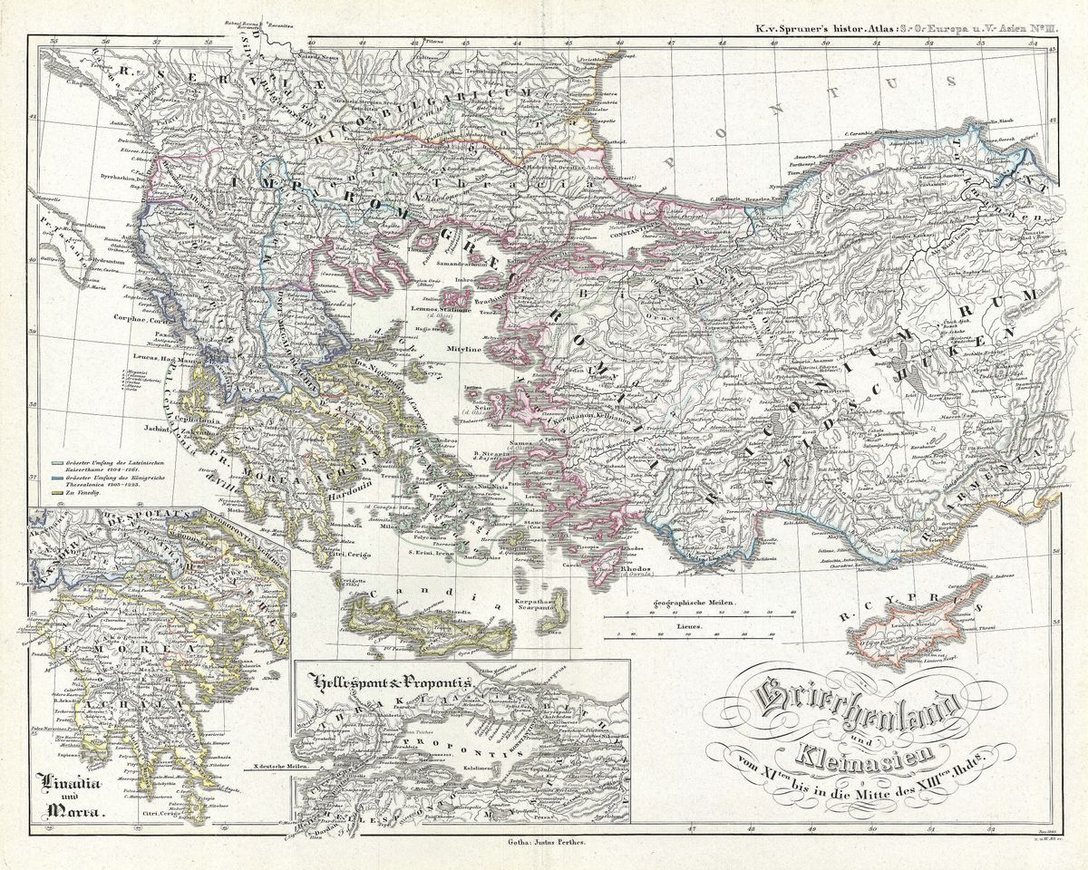
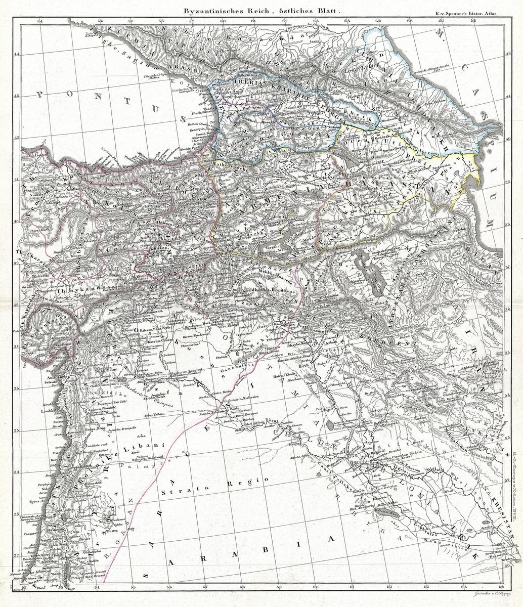
This map sets out Asia Minor, the great Anatolian peninsula that is now the Asian bulk of Turkey, as it was organised under the Byzantine Empire. Rather than the provinces of classical antiquity, it shows the medieval Eastern Roman world: the military and administrative districts known as themes, the fortified cities that anchored imperial defence, and the shifting frontiers along which Byzantium contended with Persians, Arabs and, in time, the Seljuk Turks. Coastlines, river valleys and mountain ranges are named in the Latinised and Greek forms favoured by nineteenth-century scholarship, so that the same landscape can be read as the ancients, the Byzantines and the modern eye each understood it.
Karl von Spruner and the historical atlas
Karl von Spruner (1803-1892) was the foremost German practitioner of historical cartography, and his atlases were prized for a particular ambition: to map not merely places but periods. Where most mapmakers fixed geography to a single moment, Spruner drew the past in layers, fitting the ancient and medieval landscape to the events that unfolded upon it. His work became a standard reference in the universities of the German-speaking world and beyond, valued for its scholarly rigour and its clarity of line. This 1854 sheet is characteristic of that method, translating centuries of Byzantine administrative change into a single legible image.
Anatolia between antiquity and the Middle Ages
The Asia Minor shown here was for centuries the strategic heart of the surviving Roman state. After the western provinces fell, it was the Anatolian themes that supplied the soldiers, grain and taxes on which Constantinople depended, and the peninsula's roads and fortresses formed the empire's eastern shield. It was a world in transition, Greek-speaking and Christian, heir to Hellenistic and Roman cities such as Ephesus, Nicaea and Caesarea, yet pressed perpetually by powers to the east. To study this map is to look at the long middle passage of Mediterranean history, the bridge between the classical world and the medieval one.
Collecting and display
For the collector, it is an uncommon and intelligent subject: Byzantium remains comparatively under-represented on the wall, and a map of its Anatolian core carries both scholarly weight and quiet visual restraint. The piece is restored in high resolution from a public-domain original, with the patina of the early engraving preserved rather than scrubbed away, and offered as an archival giclée print on fine paper, framed and ready to hang. It suits a study, a library or any room where history is meant to be read as well as seen.