Home › Antique Maps of the Ancient World › Constantinople
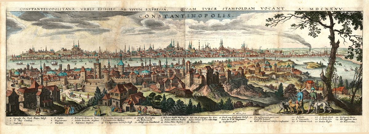
Constantinople — Antique Map (1638)
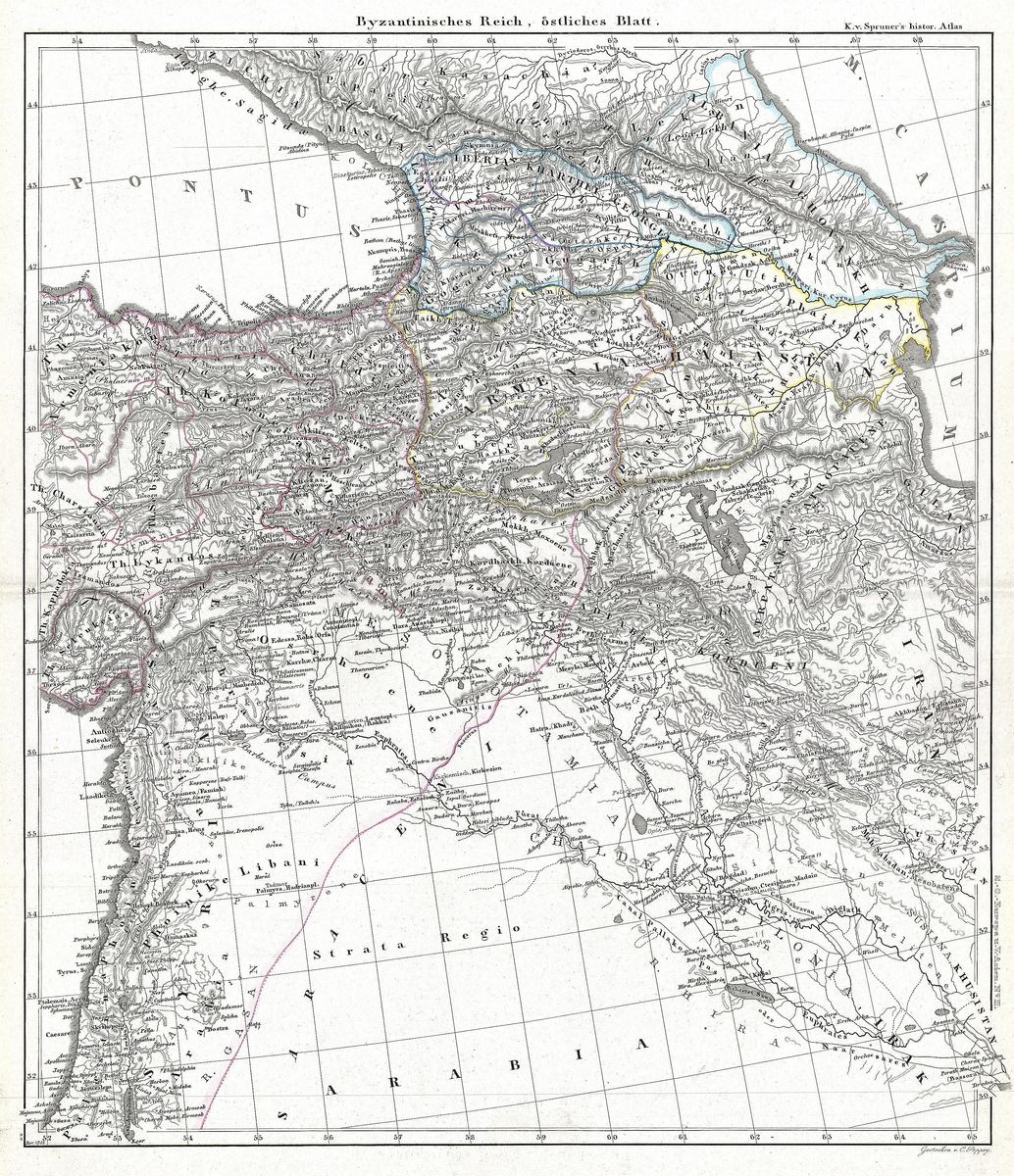
Matthäus Merian, 1638 — Byzantine Empire
This 1638 prospect of Constantinople by Matthäus Merian presents the great city on the Bosphorus as a bird's-eye view, looking across its harbours, walls and crowded skyline of domes and minarets. Rather than a flat survey, it is a pictorial map of the kind that defined seventeenth-century topographical engraving: the viewer hovers above the water, taking in the peninsula of the old city, the Golden Horn, and the shores of Galata and Asia beyond. Ships work the straits in the foreground, and the principal monuments rise in careful elevation, giving a vivid sense of the city as a living, inhabited place.
Matthäus Merian and the topographical view
Matthäus Merian (1593-1650) was a Swiss-born engraver who settled in Frankfurt and became one of the most influential publishers of his century. Through vast illustrated series, most famously the Topographia and the Theatrum Europaeum, his workshop shaped how Europeans pictured the cities and events of their world. His urban views combined documentary intent with baroque drama, balancing geographical information against the pleasure of the composition. This view of Constantinople is a fine example of that art, conveying both the layout of the city and its grandeur as the seat of empire.
The city on the Bosphorus
The Constantinople of 1638 was the capital of the Ottoman Empire, yet it remained the direct heir of Byzantium, the city founded by Constantine, capital of the Eastern Roman Empire for more than a thousand years until its fall in 1453. Merian's view captures this layered identity, with the great church of Hagia Sophia, by then a mosque, among the landmarks crowning the skyline. Straddling Europe and Asia and commanding the passage between the Mediterranean and the Black Sea, the city was among the largest and most cosmopolitan in the world, and European engravers returned to it again and again as an emblem of the East.
Collecting and display
Restored in high resolution from a public-domain original, this print retains the depth and fine line-work of Merian's engraving along with the warm patina of the antique sheet. Architectural and dramatic, it makes a striking focal point for a study, hallway or sitting room, and rewards the close attention its many details invite. It is offered as an archival giclée print, framed and ready to hang, a compelling choice for lovers of Istanbul and Byzantium, of urban history, and of the golden age of European topographical engraving.