Home › Antique World & Regional Maps › America
America — Antique Map (1572)
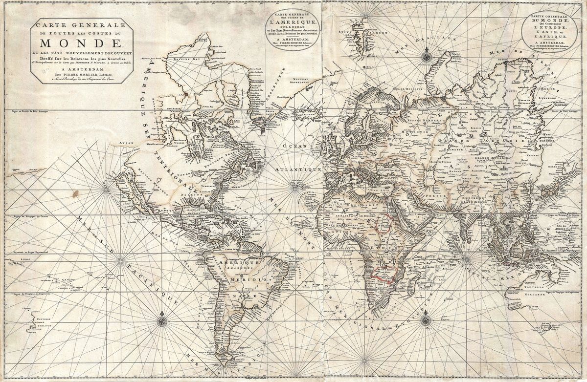
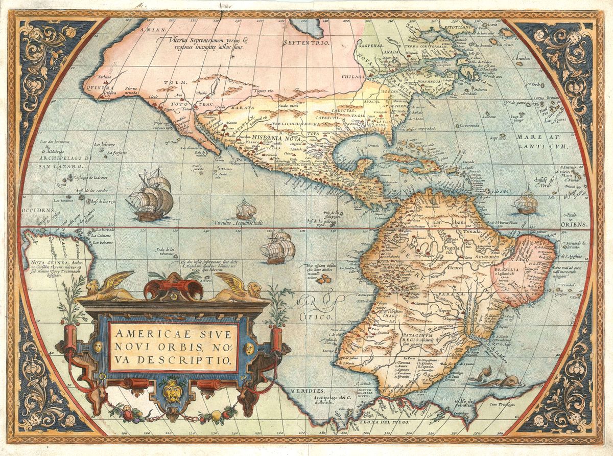
Abraham Ortelius, 1572 — The Americas
Few maps occupy so central a place in the history of cartography as Abraham Ortelius's depiction of the Americas, first issued in his atlas of 1570 and continued in editions such as this one of 1572. It shows the New World as a single sweeping landmass, the eastern seaboard rendered with growing confidence while the western coasts, the Pacific north-west and the southern interior dissolve into conjecture. A vast, bulging southern continent, the supposed Terra Australis, looms at the foot of the sheet, and the oceans are animated by sailing ships and decorative cartouches. It is at once a record of hard-won knowledge and a portrait of the European imagination only decades after Columbus.
Ortelius and the first modern atlas
Abraham Ortelius (1527-1598), a scholar and dealer of Antwerp, assembled what is generally regarded as the first true atlas: the Theatrum Orbis Terrarum, a uniform collection of maps gathered from the best sources of his day and published with consistent format and commentary. Where earlier collections were ad hoc bundles, Ortelius offered a coherent survey of the known world, crediting the cartographers on whose work he drew. The Theatrum was an immediate success, reprinted and translated for decades, and it established the atlas as the standard vehicle for geographical knowledge in Europe. Ortelius matters not only for the beauty of his sheets but for the editorial intelligence that shaped the discipline itself.
The New World in the Renaissance eye
The later sixteenth century was a period of rapid and uneven discovery. Spanish and Portuguese voyages had traced much of the coastline of Central and South America, but the interior remained largely unknown to Europeans, and the far north and the Pacific shore were matters of guesswork. Maps of this era reflect that uncertainty honestly, blending observation with inherited assumption. Ortelius's America became the most widely seen image of the continent in his lifetime, shaping how an entire generation pictured the lands across the Atlantic.
Collecting and display
Restored in high resolution from a public-domain original, this print retains the fine engraved line and the rich character of the antique sheet while presenting it cleanly and clearly. It is offered as an archival giclée print and supplied framed, ready to hang. For collectors of Americana, students of exploration, or anyone drawn to the romance of early cartography, it makes a genuinely museum-grade conversation piece.