Home › Antique World & Regional Maps › North America
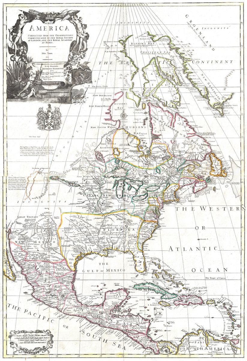
North America — Antique Map (1710)
John Senex, 1710 — North America
This map of North America by John Senex, dating to around 1710, shows the continent as the English understood it in the first years of the eighteenth century. The Atlantic seaboard, with its growing chain of colonies, is drawn with care, while the interior west of the Appalachians thins into rivers, lakes and tentative outlines. The Great Lakes appear in early, imperfect form, the Mississippi system is sketched from French exploration, and the Pacific coast and the far north remain speculative. In a feature characteristic of the period, California is shown as an island, a striking cartographic error that persisted on many maps for decades.
John Senex, geographer and fellow of the Royal Society
John Senex (1678-1740) was among the leading English cartographers and globe-makers of his generation, working in London at a time when British mapmaking was beginning to assert itself against the established Dutch and French houses. The quality of his work earned him election as a Fellow of the Royal Society, an unusual distinction for a commercial mapmaker and a mark of the scientific seriousness with which his maps and globes were regarded. He produced atlases, celestial charts and road maps, and his sheets are valued today for their clean engraving and their place in the early flowering of the English map trade.
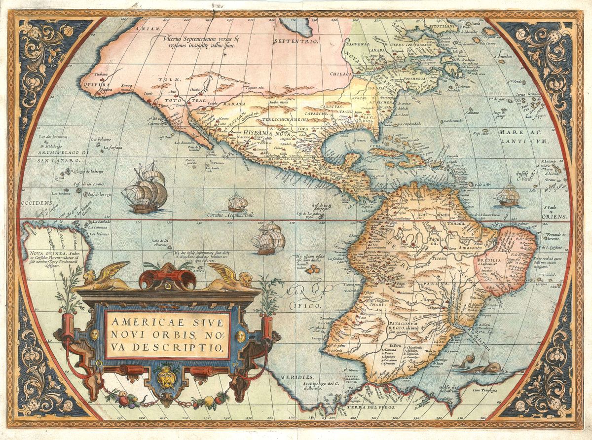
A contested and half-known continent
The early eighteenth century was a period of intense rivalry in North America. The English colonies clung to the eastern coast, the French held the St Lawrence and pressed down the Mississippi towards the Gulf, and the Spanish dominated the south and south-west, while vast tracts of the interior remained the domain of indigenous nations and largely unknown to European cartographers. Maps of this moment record both ambition and ignorance: confident along the settled coasts, conjectural in the great unmapped west. Senex's depiction captures the continent on the eve of the imperial contests that would reshape it.
Collecting and display
Restored in high resolution from a public-domain original, this print retains the fine detail of the engraving and the warm tone of the antique paper while presenting it cleanly. It is offered as an archival giclée print and supplied framed, ready to hang. For collectors of Americana, admirers of early exploration, or anyone with a connection to the continent, it makes an absorbing and characterful wall piece.