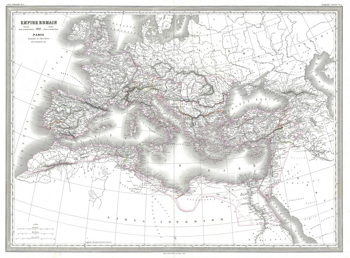
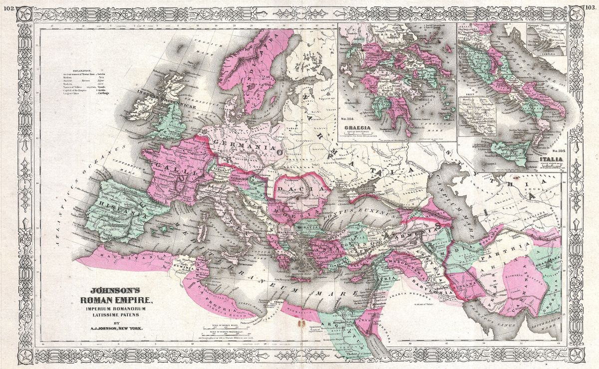
Home › Antique Roman Empire Maps › Ancient Italy
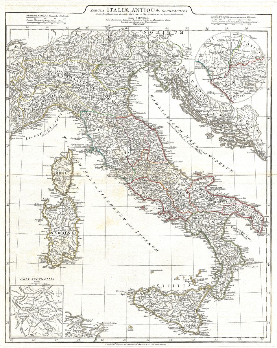
Ancient Italy — Antique Map (1764)
Jean-Baptiste Bourguignon d'Anville, 1764 — Roman Italy
This 1764 map, Italia Antiqua, charts the Italian peninsula as the ancient geographers knew it: a long spine of mountains and river valleys divided among the peoples who preceded and then composed the Roman world. Across the map are the regions of antiquity, Latium and Campania about the Tyrrhenian coast, Etruria to the north-west, Umbria and Picenum along the Adriatic, Samnium in the rugged interior, and the Greek-settled south that the Romans called Magna Graecia. Ancient place-names, tribal territories and the lines of the great consular roads thread the engraving together, presenting Italy not as a single state but as the mosaic of cultures from which Rome rose.
The cartographer
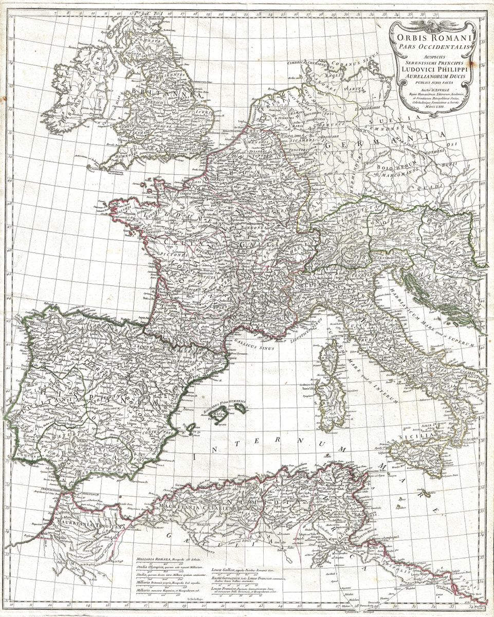
Jean-Baptiste Bourguignon d'Anville (1697-1782) was the pre-eminent geographer of the classical world in eighteenth-century France. Where earlier mapmakers had filled empty country with conjecture and decoration, d'Anville worked as a scholar, weighing ancient texts, itineraries and inscriptions against one another and declining to record what the sources could not support. The result was a body of maps admired for their sobriety and accuracy, and used as reference works long after his death. His map of ancient Italy belongs to this exacting tradition, distilling a vast literature of Roman and Greek geography into a single clear sheet.
The land and its history
The Italy shown here is the cradle of the Roman story. Latium was the home of Rome itself and of the Latin towns it first absorbed; Etruria preserved the memory of the Etruscan civilisation whose kings and customs shaped early Rome; and the southern coasts carried the legacy of Greek colonists who had planted cities such as Tarentum, Cumae and Neapolis centuries before. The peninsula's gradual unification under Rome, through alliance, war and the steady extension of the road network, turned this patchwork into the heartland of an empire. To read the map is to see the geography behind the Republic's expansion, from the hill-towns of Latium to the harbours of the south.
For the collector and the home
Restored in high resolution from a public-domain original, the sheet is offered as an archival giclée print, framed and ready to hang. Its measured engraving and quiet, aged tones make it a considered piece rather than a decorative flourish, well suited to a study, library or any room where the roots of the classical world are welcome company. For readers of Livy and Virgil, for travellers in Italy, or for collectors drawn to the geography of Rome before the Caesars, it offers an authentic and intelligent focal point.