Home › Antique Roman Empire Maps › Western Roman Empire
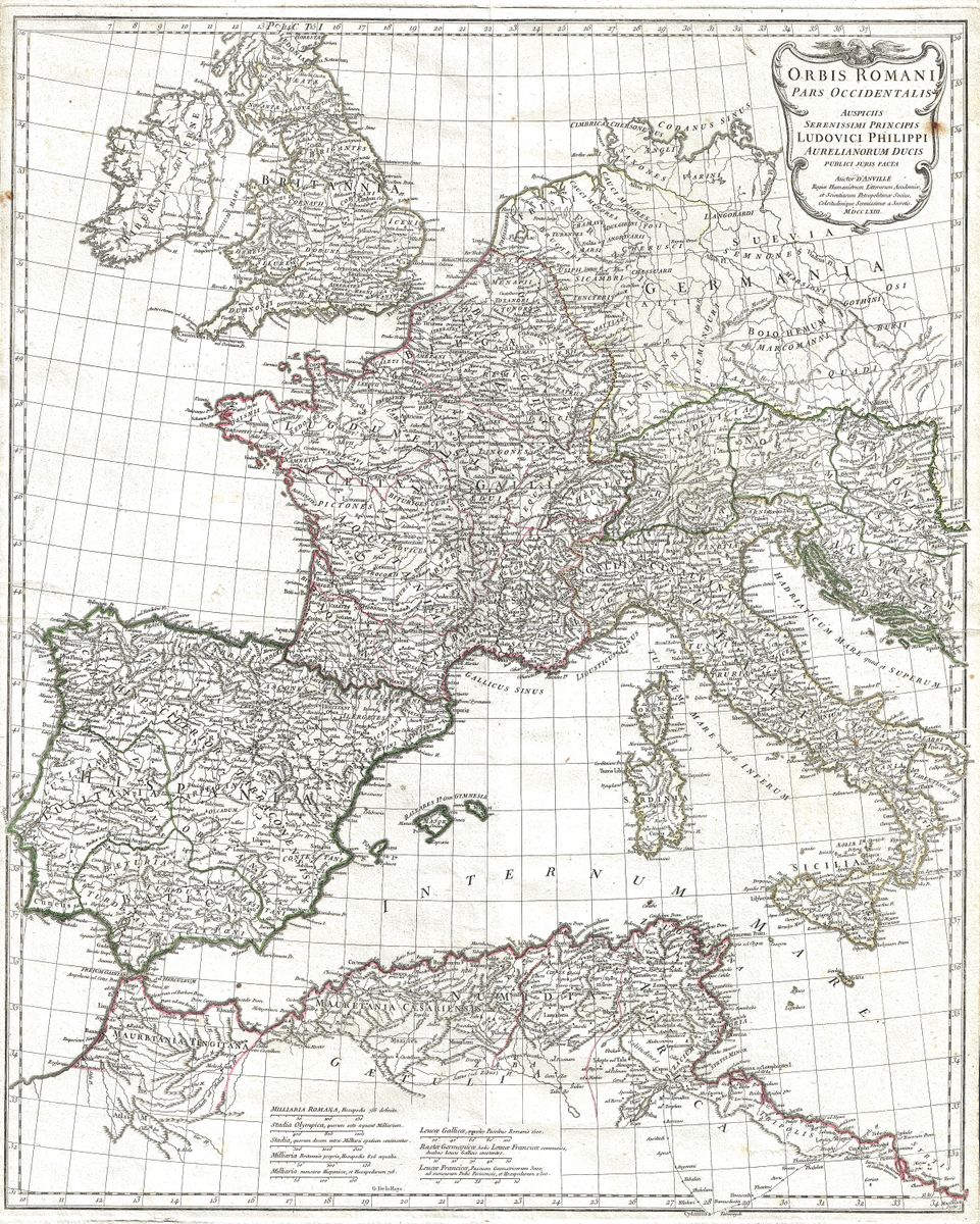
Western Roman Empire — Antique Map (1763)
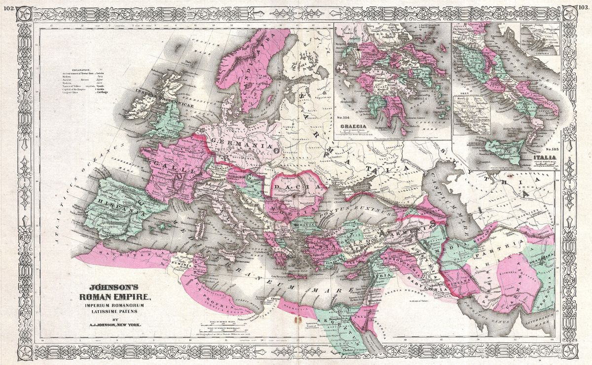
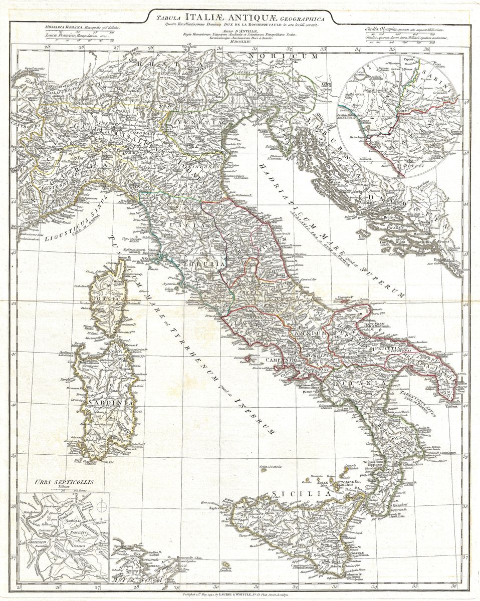
Jean-Baptiste Bourguignon d'Anville, 1763 — Roman Empire
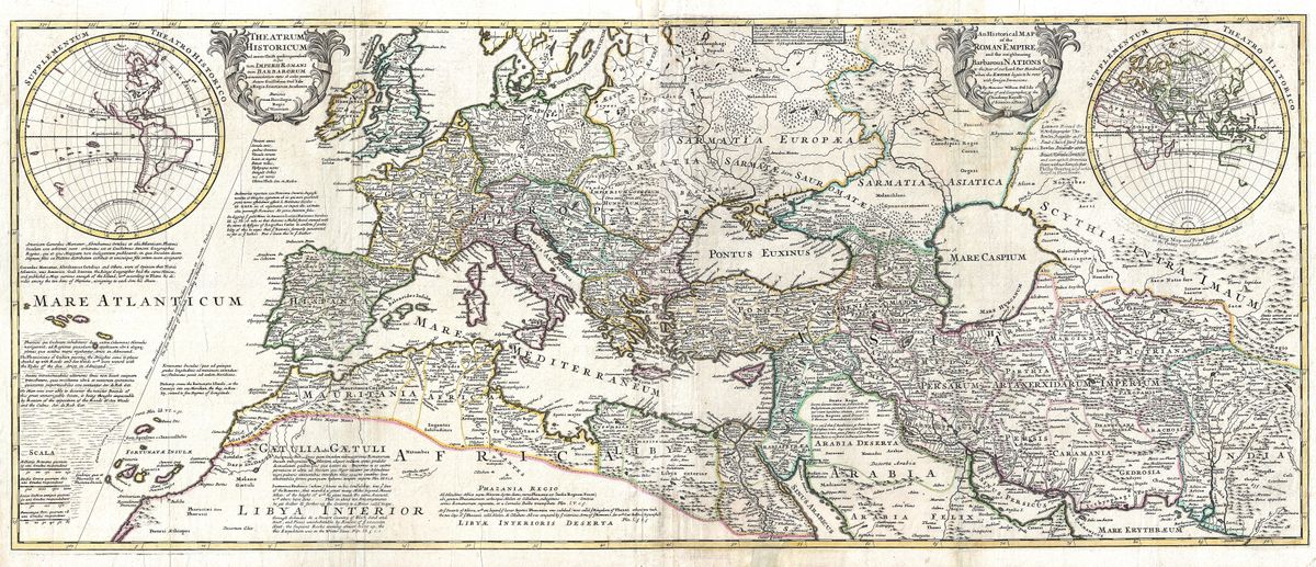
This 1763 map by Jean-Baptiste Bourguignon d'Anville charts the western half of the Roman world, the great arc of provinces that ran from the Atlantic seaboard to the central Mediterranean. Hispania, Gaul, Italia, Britannia and the coast of Roman Africa are set out with the Latin nomenclature and provincial divisions of antiquity, the frontiers and road systems drawn with the sober clarity for which the map is admired. Rather than crowding the sheet with ornament, d'Anville lets the geography itself carry the interest, naming the peoples, towns and rivers that defined the western empire.
The cartographer
Jean-Baptiste Bourguignon d'Anville (1697 to 1782) was the foremost geographer of the classical world in eighteenth-century France, and arguably the most influential historical cartographer of his century. Where earlier mapmakers had filled blank spaces with conjecture and inherited error, d'Anville worked from ancient texts, itineraries and inscriptions, and was willing to leave uncertain ground unmarked rather than invent it. This scholarly restraint reshaped the discipline, and his classical maps remained standard references for generations of historians and antiquarians long after his death.
The era it records
The western provinces shown here formed the Latin-speaking heart of the empire, the lands whose administration, law and language would outlast Rome itself. Through these territories ran the roads, ports and cities that bound the western Mediterranean into a single political order, from the silver of Hispania to the grain of Africa and the legions stationed along the northern frontiers. It was across this same western half that imperial authority would slowly fracture in late antiquity, making a map of its provinces also, in retrospect, a map of what was eventually lost. d'Anville's rendering invites that longer view, presenting the region at the height of its classical coherence.
Collecting and display
For readers drawn to Roman history, the classics or fine antiquarian cartography, the map makes a considered and authentic wall piece, scholarly in spirit yet handsome enough to anchor a room. It is restored in high resolution from a public-domain original, with the aim of preserving the character of the engraving while clarifying its detail. Each print is produced as an archival giclée on quality paper and supplied framed, ready to hang in a study, library or living space.