Home › Antique Roman Empire Maps › The Roman Empire (Johnson)
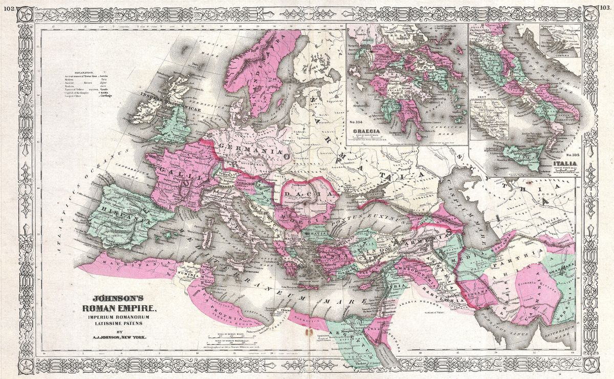
The Roman Empire (Johnson) — Antique Map (1864)
Alvin Jewett Johnson, 1864 — Roman Empire
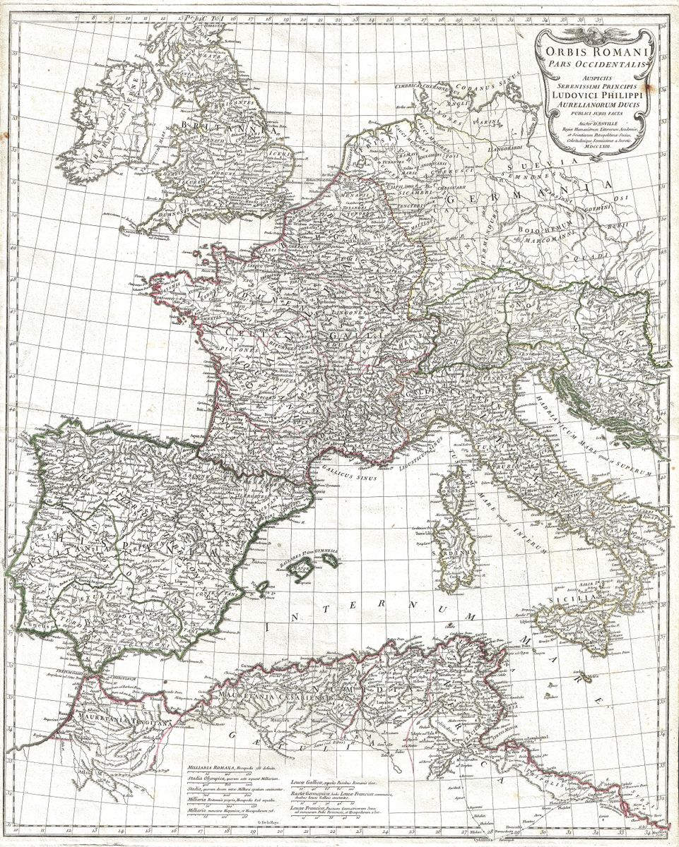
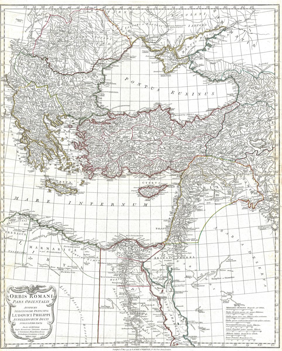
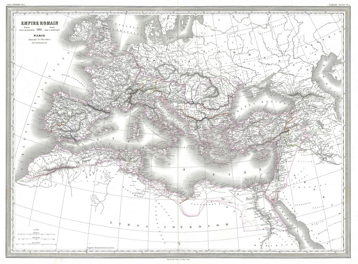
This 1864 map sets out the Roman Empire across the breadth of its dominions, from the Atlantic coast of Hispania and the shores of Britannia eastward through Gaul, Italia and Greece to Asia Minor, Syria and Egypt. The Mediterranean sits at its centre, ringed by the provinces that Rome governed at its greatest extent. Latin and classical place-names are set against the bright, hand-coloured borders that distinguish the regions, giving the sheet both reference value and decorative warmth.
Alvin Jewett Johnson and the American atlas
Alvin Jewett Johnson published some of the most popular and widely circulated American atlases of the Victorian period. His firm rose to prominence in the years around the Civil War, when a growing and increasingly literate public sought handsome reference works for the parlour and the study. Johnson's maps are immediately recognisable by their vivid hand-applied colour, their ornate borders and the confident styling of mid-nineteenth-century American commercial cartography. They mattered not as fresh surveys but as accessible, attractive compendia that brought geography, both modern and ancient, into ordinary homes. A historical map such as this one allowed the Victorian reader to place the classical past within the same atlas that charted their own expanding nation.
Rome and the world it shaped
The empire shown here was the product of centuries of expansion, from the Republic's early conquests in Italy to the imperial frontiers consolidated under Augustus and his successors. At its fullest reach in the early second century, Roman authority extended from the rivers of northern Britain to the deserts beyond the Euphrates. The provinces depicted were bound together by roads, sea lanes and a shared administrative culture that left a lasting imprint on European law, language and settlement. By presenting this vanished political world to a nineteenth-century audience, the map reflects the era's deep classical education, in which Latin and Roman history were considered foundations of a cultivated mind.
For the collector and the home
Restored in high resolution from a public-domain original, this map retains the colour and period character that make Johnson's work so distinctive, while presenting it cleanly for modern display. The result is especially well suited to a warm, traditional interior, where its hand-coloured borders and antique tones sit comfortably among books and furniture. It is offered as an archival giclée print, framed and ready to hang, a considered choice for anyone drawn to Roman history, the classics or the look of a fine Victorian atlas.