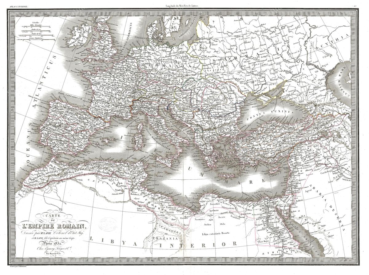
Home › Antique Roman Empire Maps › The Roman Empire (Dufour)
The Roman Empire (Dufour) — Antique Map (1860)
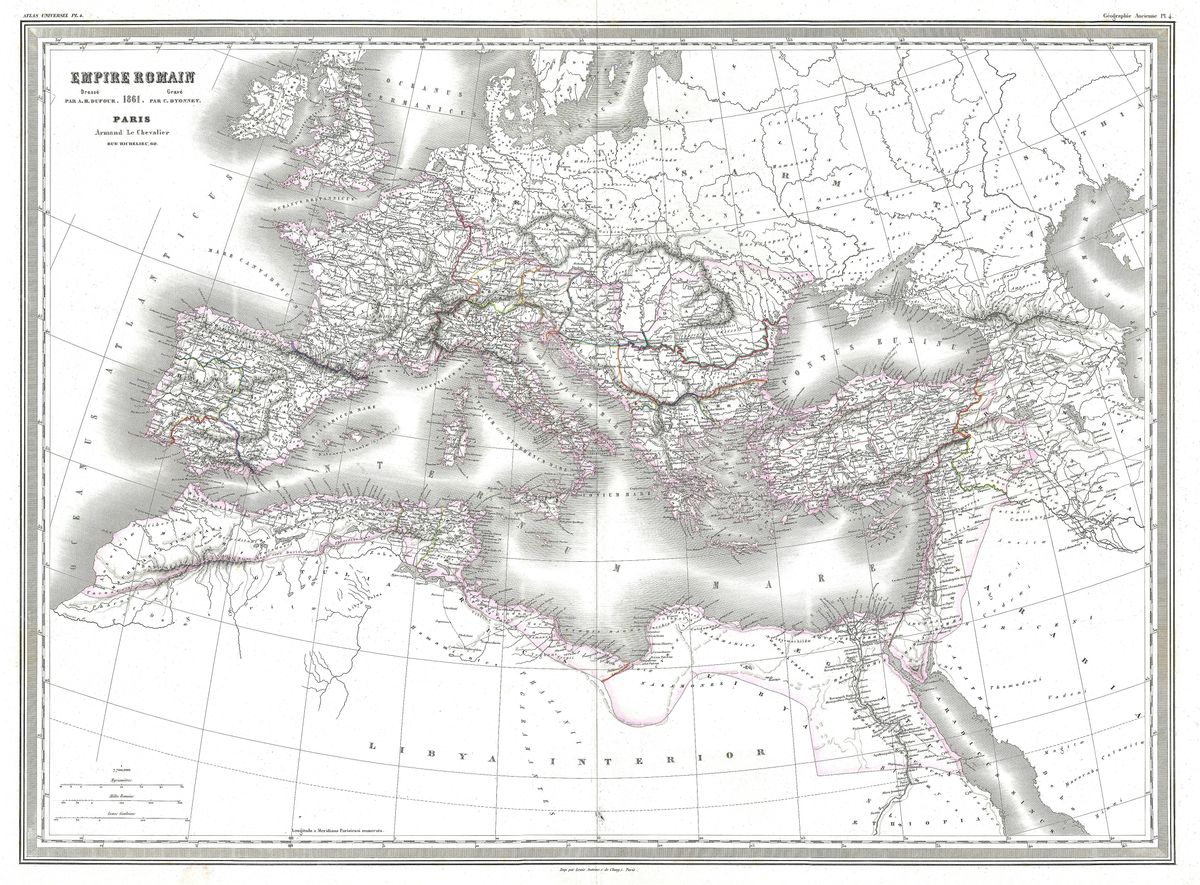
Auguste-Henri Dufour, 1860 — Roman Empire
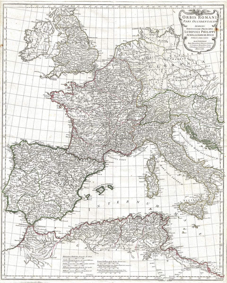
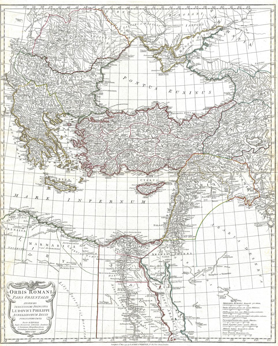
This 1860 map by Auguste-Henri Dufour presents the Roman Empire with the dense detail and refined engraving characteristic of the great mid-nineteenth-century French historical atlases. Across the sheet the provinces, peoples and cities of antiquity are named in close array, the boundaries of the empire traced from the European frontiers through North Africa to the eastern Mediterranean. It is a map made to be studied closely, rewarding the eye that follows its roads, rivers and place-names into the fine grain of the engraving.
Auguste-Henri Dufour
Auguste-Henri Dufour (1798 to 1865) was a prominent French cartographer and geographer of the nineteenth century, the author of numerous atlases and historical maps produced during a period when French map publishing was at a high point of technical accomplishment. Working amid the flourishing geographical houses of Paris, Dufour contributed to a body of richly engraved historical and contemporary maps aimed at an educated public. His sheets are valued for their combination of scholarly content and polished execution.
The empire as historical subject
By 1860 the mapping of the Roman world had become a mature branch of historical scholarship, served by detailed atlases that sought to render antiquity with care and completeness. A map of this kind gathers the accumulated learning of the period into a single view, presenting the empire as a coherent geographical whole, its provinces and frontiers fixed against the modern outline of the land. It speaks to a nineteenth-century confidence that the ancient world could be known, ordered and faithfully drawn.
Collecting and display
The warm patina and intricate detail reward close viewing, making the map a rich centrepiece for a study or library and a quiet pleasure to examine at length. It is restored in high resolution from a public-domain original, then produced as an archival giclée print and supplied framed, ready to hang.